Our goodbye in Murghab was rather emotional. After all, Frances and I had spent almost 80 days on the road together; camped, ate, suffered and enjoyed cycling through five different countries, from -28m up to 4,300m of elevation. And now it was over and I was heading to China.
On the morning of 28 June, Frances was preparing her departure north across the Ak Baital pass (4,655m) into Kyrgyzstan, joined by Céline and Chantal. I, on the other hand, set off alone across the Qolma pass (4,363m) into China. Sadness about the end of our companionship mixed with the excitement to begin this last section of my trip.
Frances and I have been very very lucky to have found each other. I mean, what are the odds — in the vastness of the internet and the world — to stumble upon another cyclist who plans to go into the same direction, enjoys similar things about travelling, cycles at the same speed, and has habits and moods largely compatible with your own? In short: we had a wonderful time and I will be forever grateful to her for making this trip possible. And for her patience with me on the road. 😉
A desert in the mountains
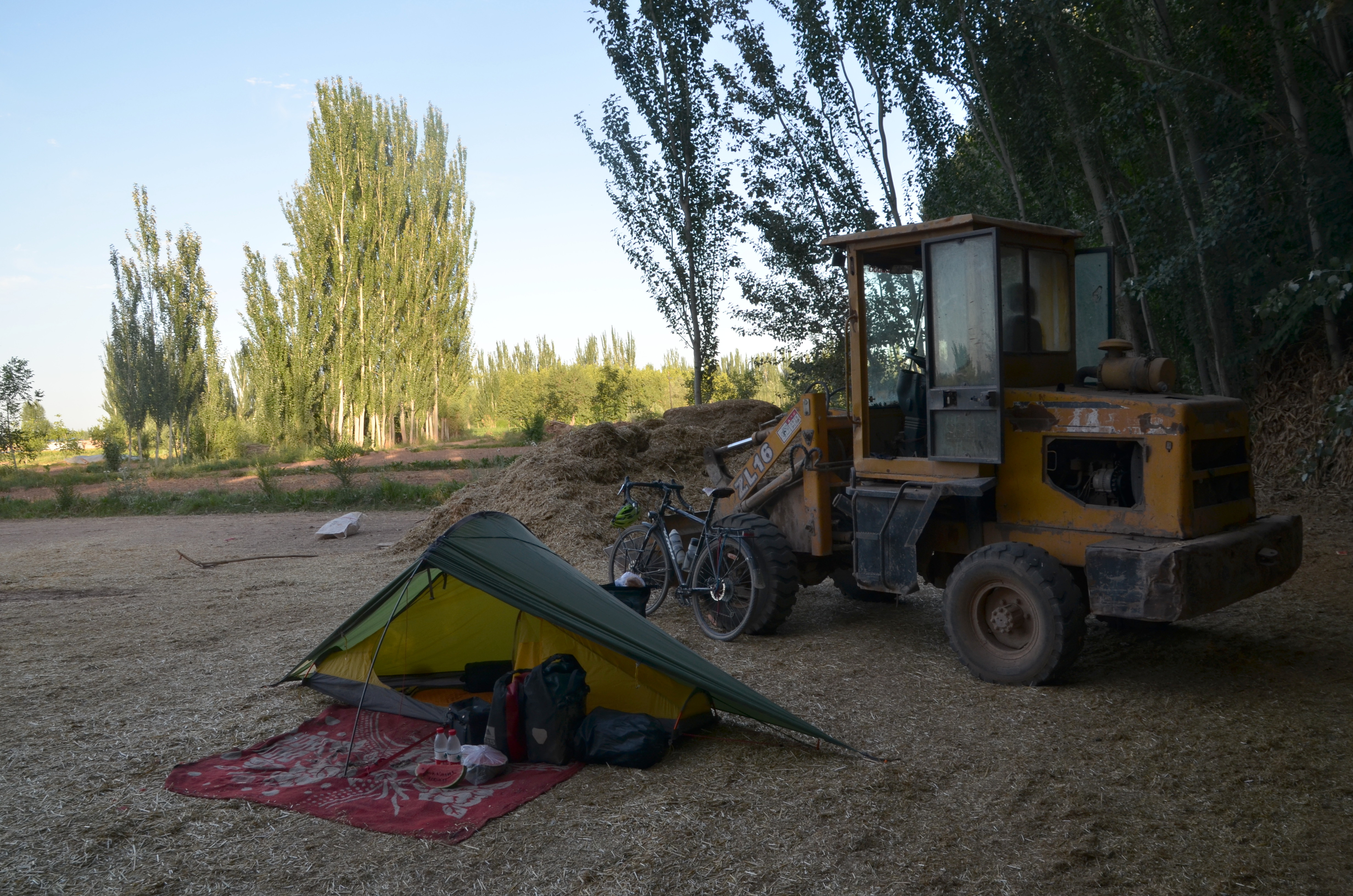
In Murghab, people had told me that the road to China was mostly deserted and not particularly easy to ride. Since both our stove and water purifier went with Frances, I had to improvise a bit and packed 6 litres of drinking water and enough cold Plov and bread for 3 days. Just in case.
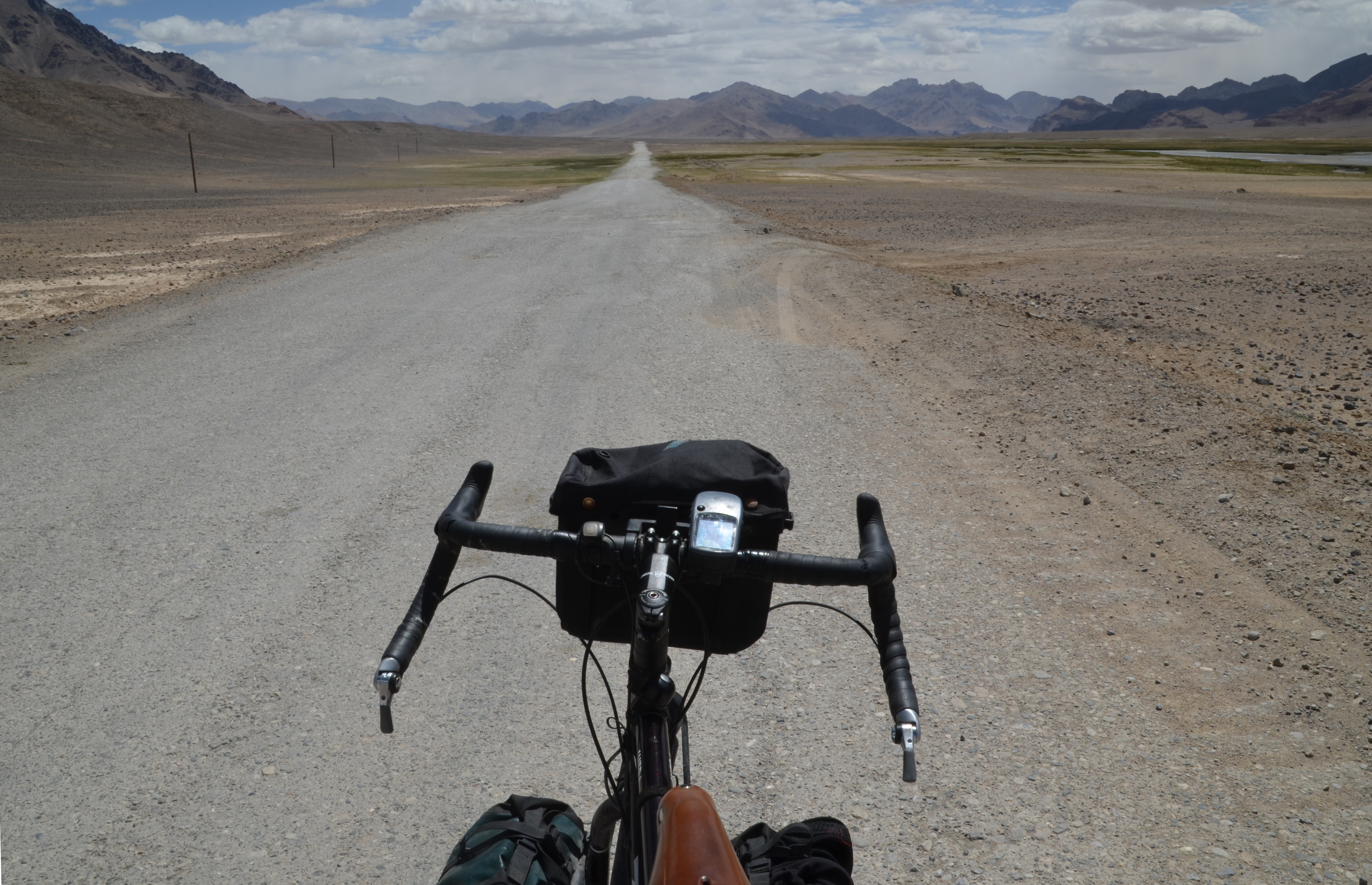
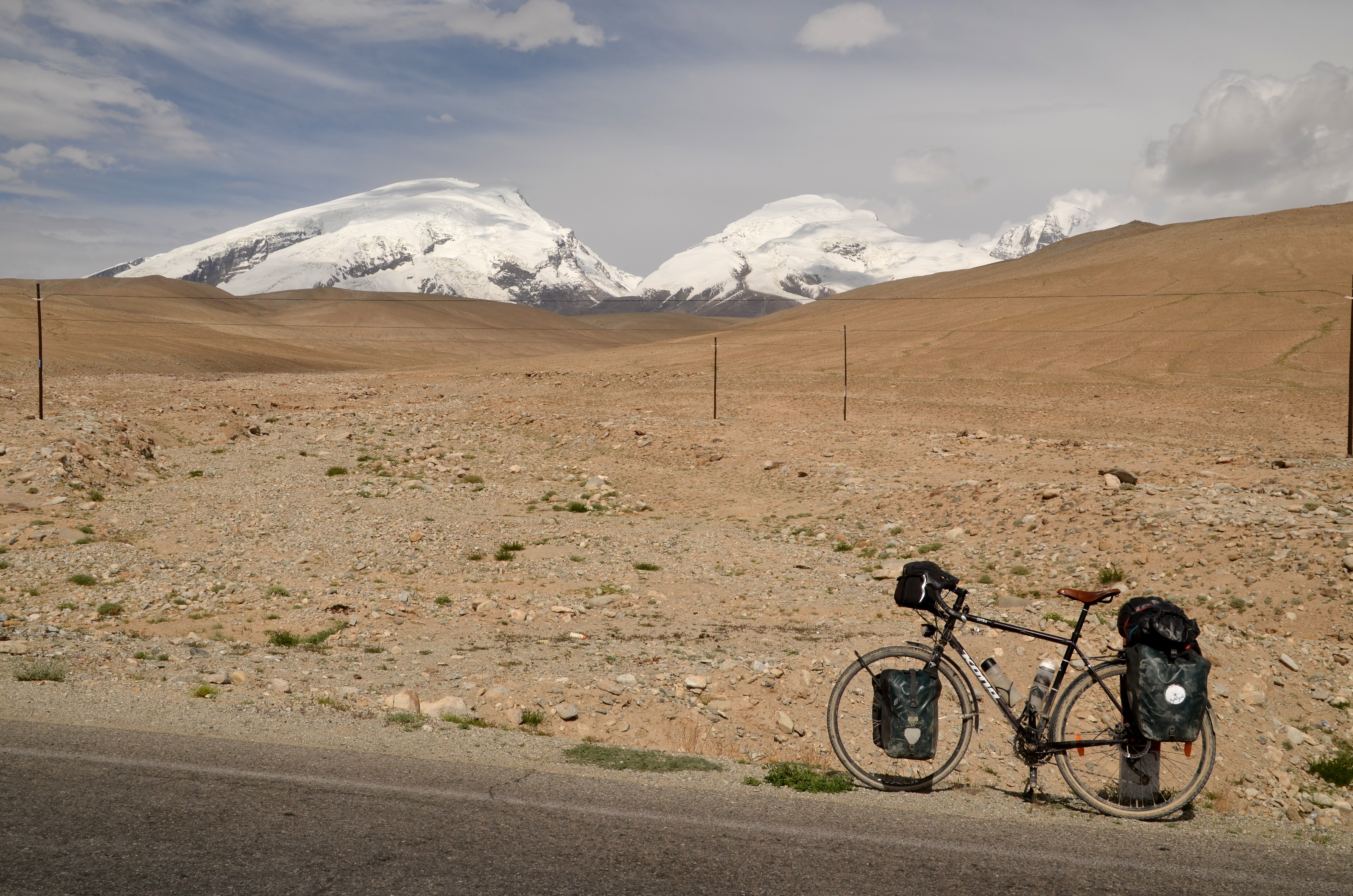
The road out of Murghab starts off with 20km of reasonable tarmac before turning into a pretty unpleasant gravel road. More of the same really, I thought. It leads into a wide and extremely dry valley without any settlements. There was really no traffic. After half a day of cycling into the emptiness of the mountains I started to have doubts. Was it a good idea to do this alone? What if that worn-off city bike tyre breaks (the one I bought in Khorugh for two euros). Or my bottom bracket. How long would I sit here before a car or truck passed by? Or could I push my bike up to the Qolma pass?
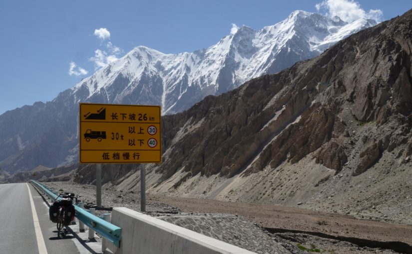
I had lunch and felt a bit better. An hour later I saw a river in the distance and also a few houses. And then the road changed. The Chinese government invests in parts of the infrastructure of the Pamirs in order to facilitate exports and they had apparently decided to renovate the last 30km of road on the Tajik side of the border — excellent asphalt from here!
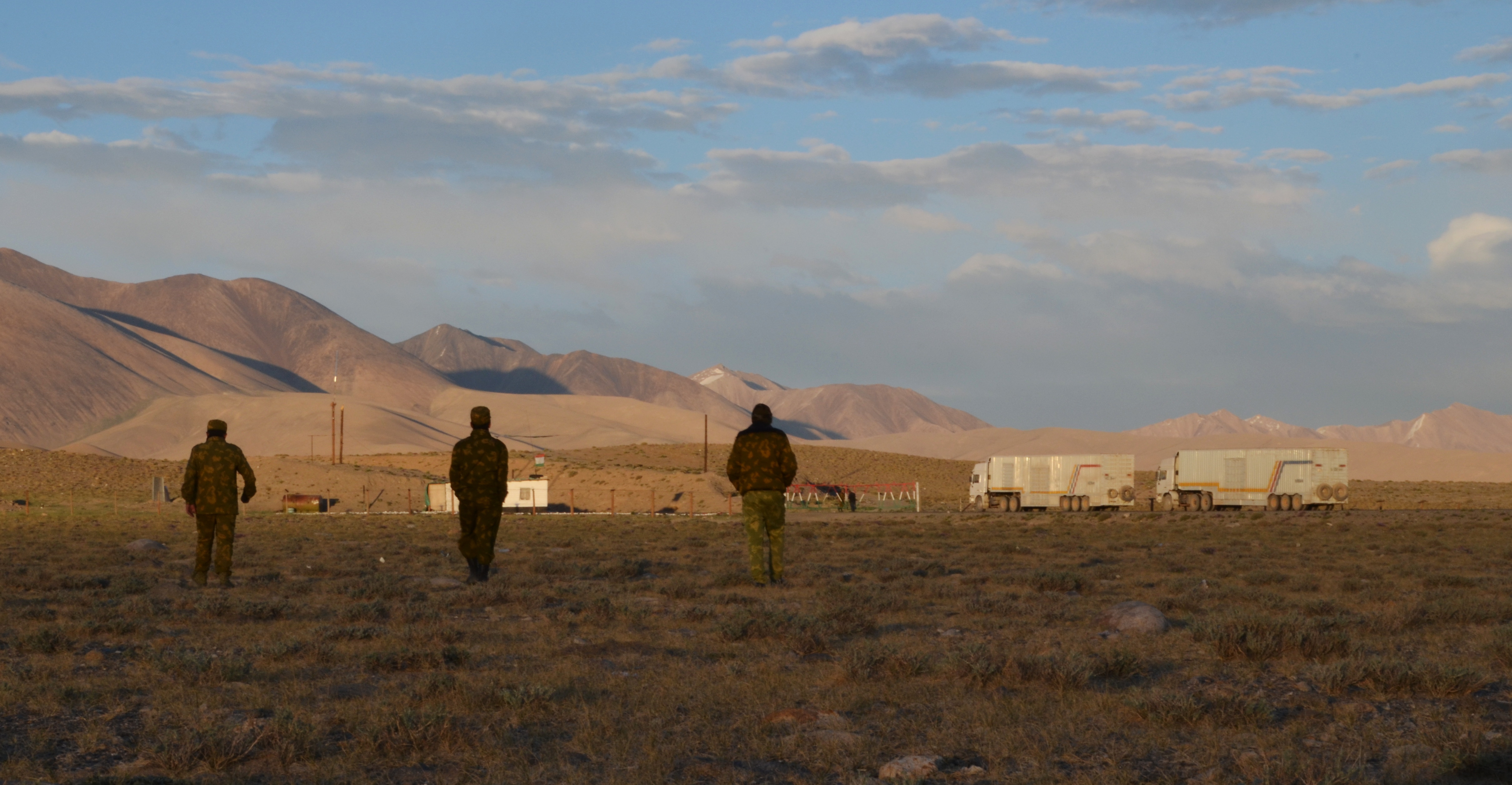
My plan was to try to get as close to the Chinese border as possible on that first day, to camp, and then cross it the next morning. Well, I didn’t get very close. Not long after the beginning of the good road, the Tajiks set up a passport control (or pre-border) post. As was my experience everywhere in Tajikistan, the soldiers were friendly, checked my documents and — that was new — didn’t let me pass. The Chinese border would close in one hour, they said, so I wouldn’t make it by bicycle. I would have to wait until the morning. It was only 4pm and I really wanted to go further, so I started negotiating. This time I got as far as the commanding officer on the phone (who spoke some English) but I failed to convince him to let me pass. No camping in the border zone.
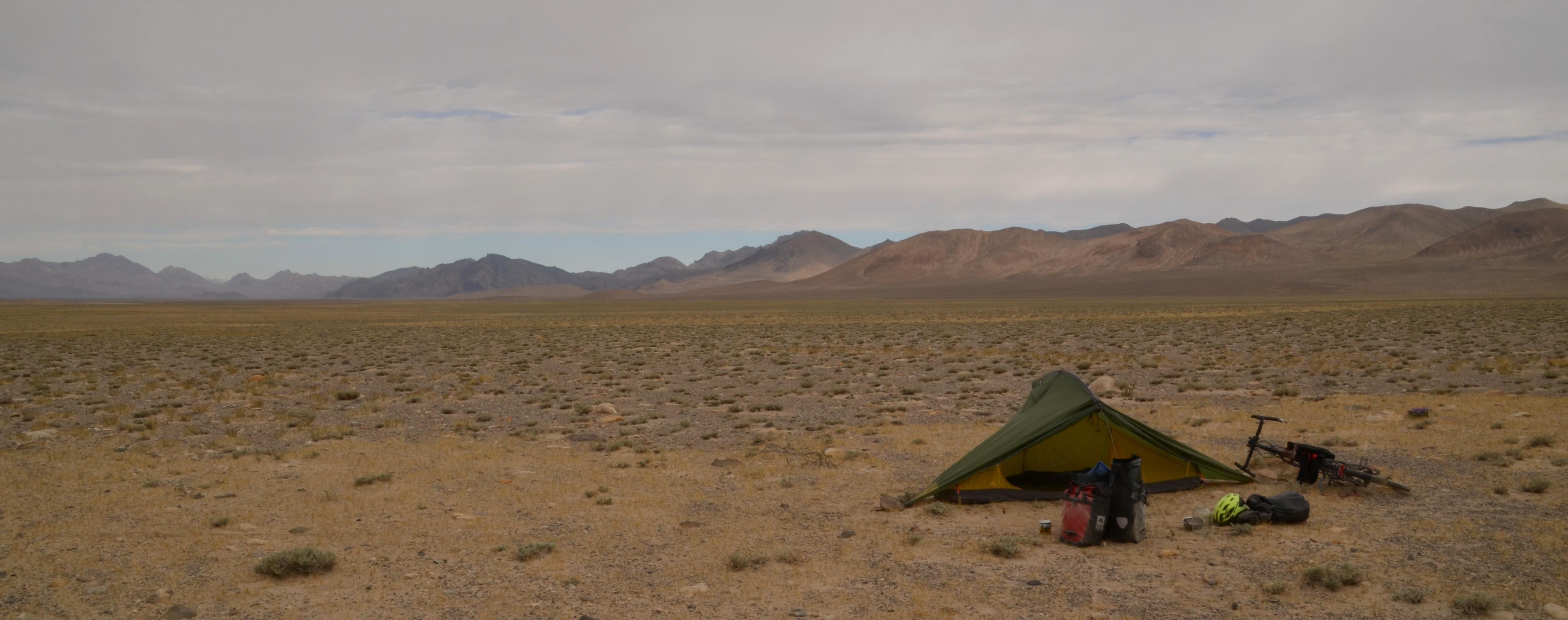
A little bit disappointed, I pitched my tent a few hundred metres away from the control post, determined to be the first one to cross the next morning. I read my book, relaxed and was just about to eat a small diner (cold Plov, a biscuit and a molten Snickers), when three soldiers came to my tent with a bowl of spicy steaming noodle soup, bread and a huge pot of hot tea! Their kindness was so disarming, it made all my disappointment go away. I couldn’t thank them enough.
Into China
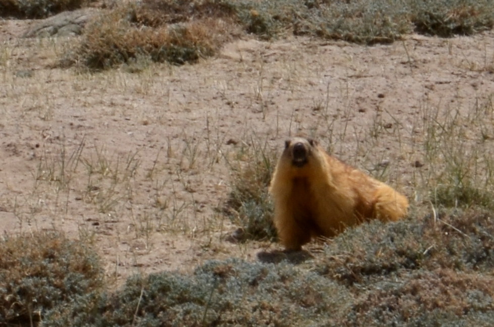
At 8am the next morning I was back at the control post. The soldiers wished me all the best and waved me through. I knew that the Chinese border would only open at 10, so I had two hours to climb the 600m of elevation spread over some 20km up to the Qolma pass. I didn’t hurry, took photos, enjoyed watching the large marmot colonies on the way.
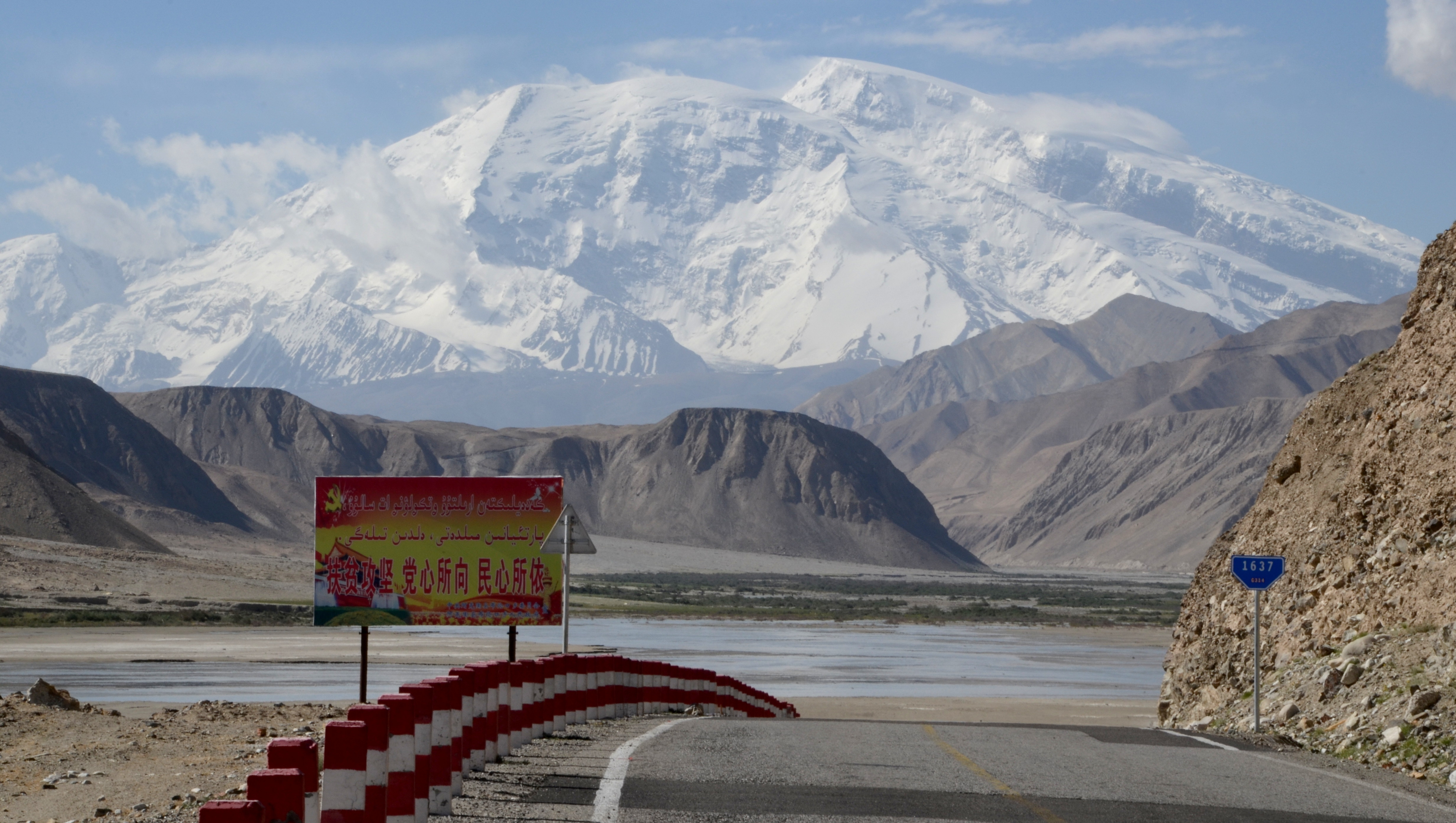
At around 11am I arrived at the border of the third-largest country in the world and at the same time at the highest point of my whole trip, 4,363 metres above sea level, surrounded by 6,000 and 7,000m high snow-capped summits. I loved it!
For me, China always had a mystic touch. Of course, I know that today, it’s first of all a global player, the world’s largest exporter, and an industrialised country with more megacities than any anywhere else. But for me, as a European, it’s also the epitome of foreignness. Of a most distant culture where people, habits and history are so different to my own.
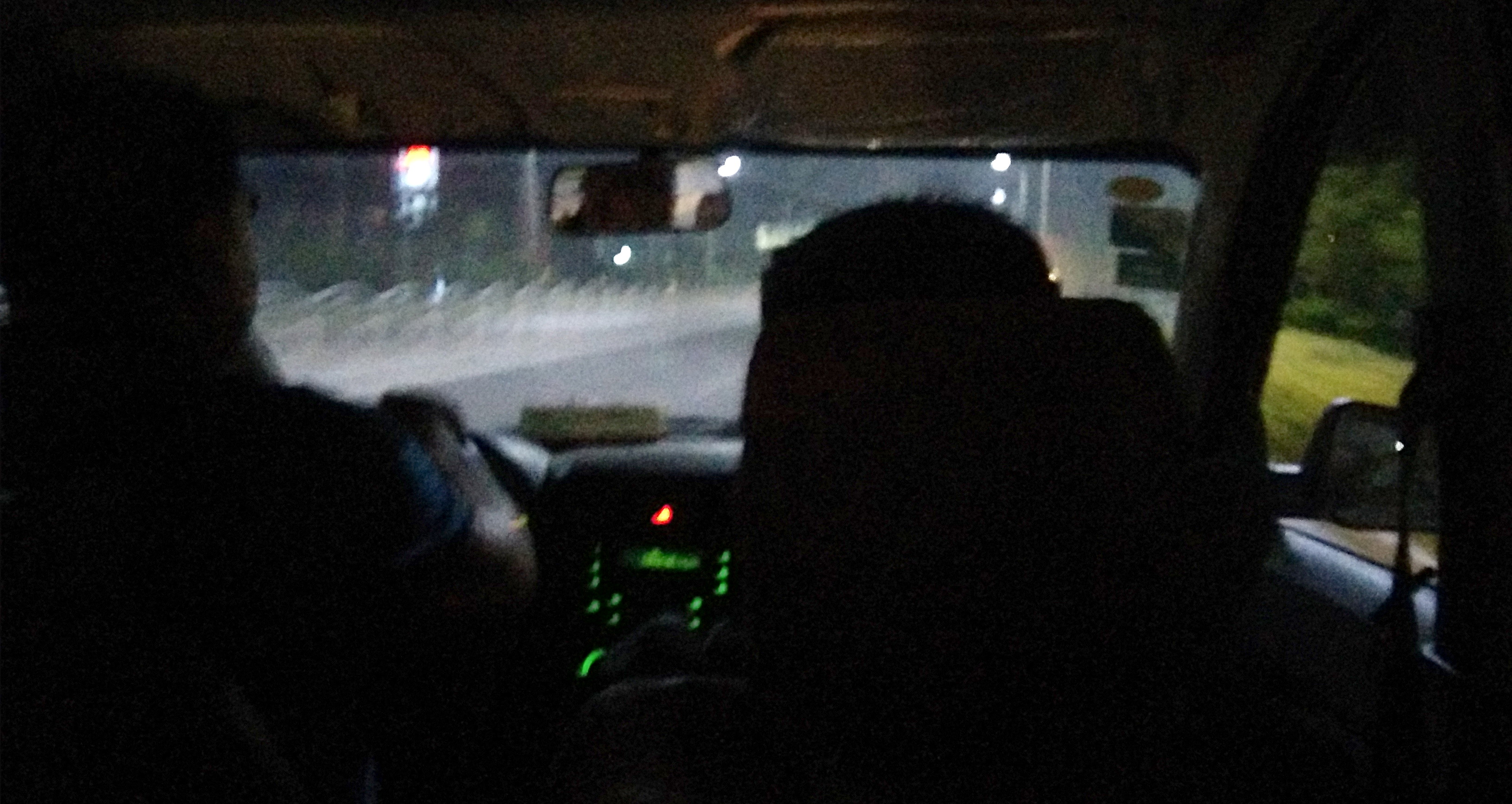
Seems like the Chinese tried hard to confirm this image. The border crossing took over five hours. When I arrived, the Chinese border guards had just gone for lunch. So waiting. Later, security checks were more intense than at any other border I have crossed on this trip. The border guards were dressed all in black with bulletproof vests and a colourful label saying “Chinese SWAT”. After the border checks I wasn’t allowed to cycle on but had to wait with a hand full of other overlanders until some trucks had passed as well. After two hours, the Chinese border guards put us on those trucks (my poor bicycle on a different one than me!) and we drove some 10-15km downhill to a second border post, where all the checks were repeated.
Those who know me won’t be surprised: I was quite annoyed. Not only did I lose a couple of hours with those useless double-checks but they also stole an awesome and hard-earned 600 metre descent from me that I had been looking forward to for days. Well, at least they didn’t get my phone or any other electronic devices as they were busy confiscating another traveller’s Lonely Planet because it depicts Taiwan as a separate country. Something the Chinese government has quite a different view on.
Around 16h30 they finally let us go. I got out of the building, waved goodbye to the other overlanders and suddenly realised I had finally left the Pamir Highway. After several weeks on this iconic road I had reached another famous “highway”: the Karakoram Highway which connects the Western Chinese province of Xinjiang in the north with Pakistan in the south.
A surveillance dystopia
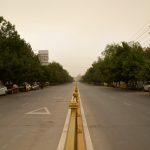
I headed north in the direction of the city of Kashgar, about 280km from the border. In the remaining time of the day I climbed my last ascent on this trip, a smaller pass at 4,100m altitude, before starting the longest downhill I have ever ridden: over 3,000m altitude down into Kashgar.
Cycling through China was awesome at first: Excellent road surface, breathtaking views on white-powdered mountain tops, and later, down in the valley, delicious spicy food along the road. But I also quickly noticed how tight the ubiquitous state surveillance network is that the Chinese government has set up to keep the population under control.
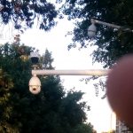
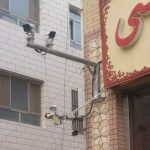
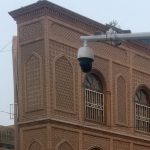
Once out of the high altitude mountains, the Karakoram Highway is equipped with surveillance cameras every 1,000 metres or so. And they don’t only film the highway but also point into each tiny gravel road that connects to it. Officially, those cameras seem to have been set up for the purpose of speed control. In practice, they allow the authorities to track down the position of every single vehicle along the way, all day, every day.
What is more, between the border and Kashgar await at least four full-blown passport control stations, including fingerprint scan and facial recognition hardware, through which everyone has to go. Of course I knew that China wasn’t a free country, but experiencing myself how it feels to be watched at every corner (and in between) made me realise just how vulnerable this makes all citizens to the state’s will and power.
Camping without freedom
In the first night I was still deep enough in the mountains to find a quiet camp spot hidden away from the road. Not many people live above 3,000m. The next day, however, when I arrived in the valley, it was nearly impossible to remain unseen. After 170km of downhill cycling I was veeeery tired and started looking out for camp spots in the fields. I had some good experience with asking local farmers to allow me camping on their property.
At first, it seemed like China was no exception. I found a friendly-looking farmer, used my usual hand signs to explain who I was and what I wanted and he agreed. It was a good place, a few hundred metres away and invisible from the road, that the farmer used to park his tractor. He showed me where I could put the tent. He introduced me to his brother. We had water melon together. He introduced me to his mum and his sister, who spoke a few words of English. We had a chat. Someone also called the police.
I’m still not quite sure who called the police and why. My best guess is that my farmer or someone in his family got cold feet and wanted to make sure the authorities would be OK with me sleeping in the field. Perhaps, the Chinese government doesn’t only use technology to control the population, they also use the population itself. I can only guess but it felt as if my farmer (or whoever called the police) was scared of doing something out of the ordinary, such as having a German cyclist camping in your field, for fear of being discovered. So better don’t hide anything from the authorities, which is exactly what the Chinese government wants.
And frankly, it’s exactly what some of our own governments want: “You have nothing to fear if you have nothing to hide.” In March of this year the Belgian parliament passed a new law allowing the federal police to install an unlimited number of video surveillance cameras in public spaces and keep their video feed for 12 months. Looks like the law provides for no limitation of use of the videos, no judicial oversight, no independent control. I don’t remember having seen any public debate about this.
Well, back to China: Turns out the police wasn’t OK with me camping in the fields. After an hour-long discussion, I found myself on the phone with an English-speaking police officer telling me with a firm voice to “please cooperate with Chinese police.” I realised the debate was over when one grimly looking police officer’s Baidu Translate said “Don’t scold us!” (I might have used a few f-words…). I had to pack up my tent and all my stuff and put everything into a van that the police had organised for me and in which they drove me the last kilometres of my trip. It was heartbreaking. After more than 9,700 kilometres of cycling and probably about 100 nights camping out in the wild, this is how my trip ended.
By the time we arrived in Kashgar it was 11pm and I had almost fallen asleep in the van. The police brought me to a mid-class hotel and left, and that was it. My cycling trip was over.
Visiting Kashgar
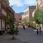
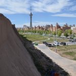
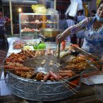
Kashgar is an impressive place. The modern part is a typical small Chinese city with something between 500,000 and a million people. Clean streets, thousands of electric scooters, and all the food in the world! I was in heaven, eating my way through all kinds of spicy dishes, street food stands, and ice cream.
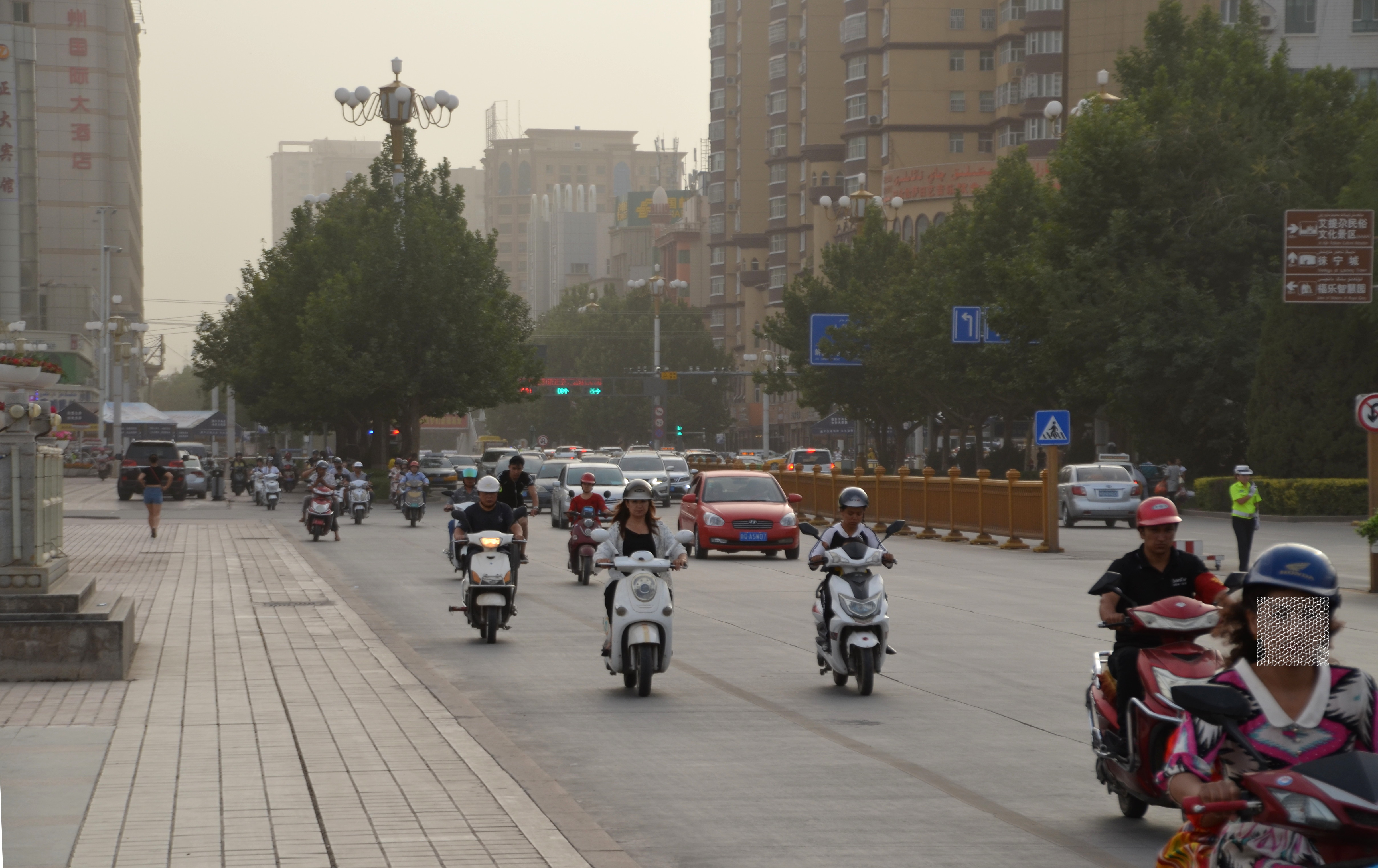
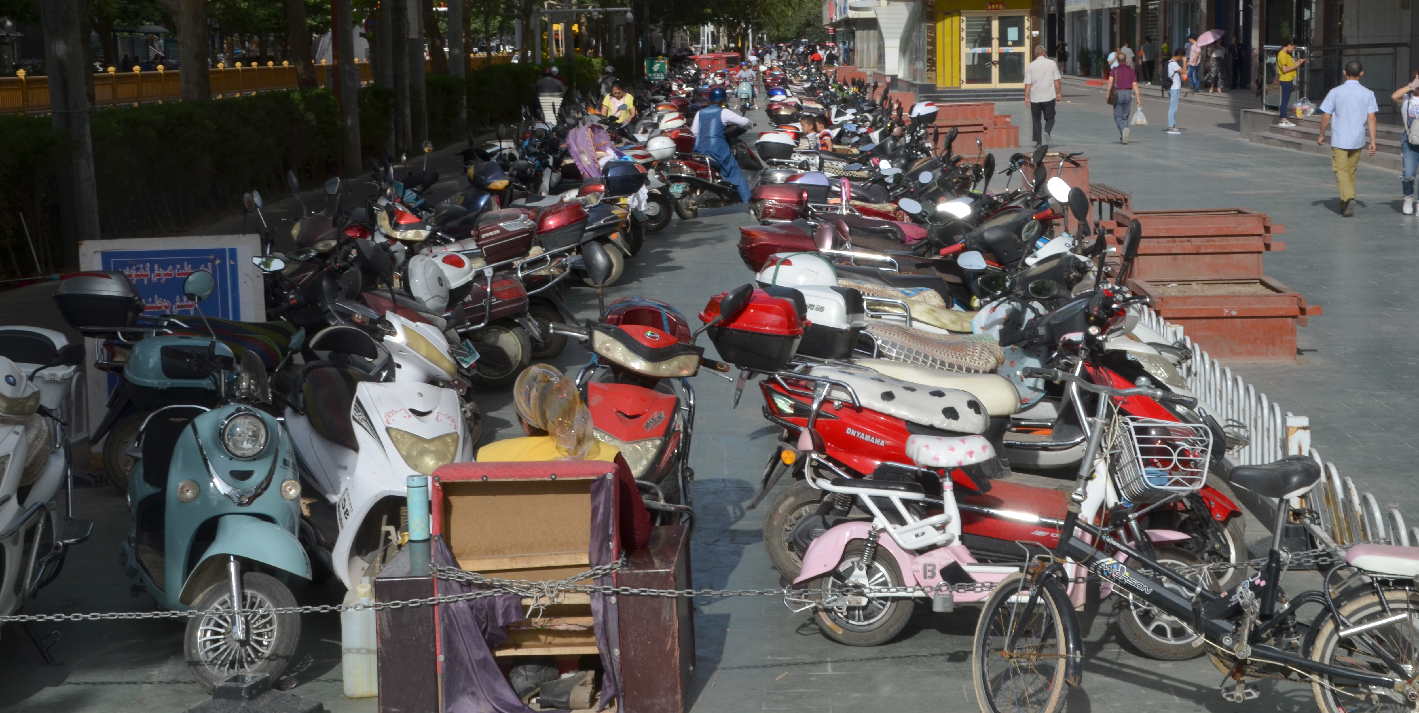
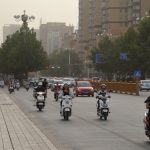
What I loved about the place (and that’s apparently common for most urban places in China) is the abundant use of electric scooters. While European cities continue to be polluted by the same noisy and smelly two-wheelers our parents have been riding, Chinese scooter riders seem to embrace 2018. In Kashgar, e-scooters appear in all colours and shapes, have their own lanes and, together with the odd cyclist, silently hum through town in an endless stream.
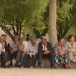
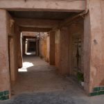
Kashgar also has a surprisingly sizeable and well-preserved old town built of clay houses and hundreds of tiny side streets, most of which aren’t even on OpenStreetMap (will change that soon) or Google Maps (cannot change that). I loved strolling through this part of town, which has still very few Western tourists, checking out markets and spice shops, small parks and residential areas.

But in Kashgar, the state surveillance apparatus is even more frightening. Every single road, every side street, every corner and every single metre of side walk is equipped with video cameras. No exaggeration here. And shop owners seem to complete the picture with private surveillance cameras in and in front of their shops.
What is more, there are police stations every 500 metres or so plus mobile police patrols on foot or motorcycle. They walk the streets, observe parks and control road crossings. The state’s grip on the population of Kashgar is totalitarian. Combine this with the deployment of automated facial recognition software that identifies people based on the government’s existing photo and video database and it is unthinkable to go anywhere or do anything in Kashgar outside your own four walls without government and the police knowing about it.
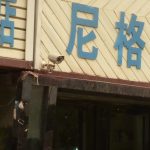
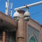
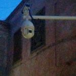
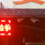
Here’s a little collection of camera models I found in Kashgar:


It’s all for our own security, of course.
(Update 30/07/2018: To know more about surveillance in Kashgar and Xinjiang province, read this excellent article of SPIEGEL journalist Bernard Zand, who seem to have travelled there around the same time as me.)
Going home
I spent a few more days in Kashgar, enjoying the wonderful food and the foreignness of the place, before starting to prep my departure. I had to find one of the few bicycle shops in town to get a paper box for transporting my beloved bike on a plane. I wanted to package it with particular care as I didn’t trust neither China Southern Airlines nor Aeroflot to handle my fragile freight with care on a 24hrs long flight with two stopovers.
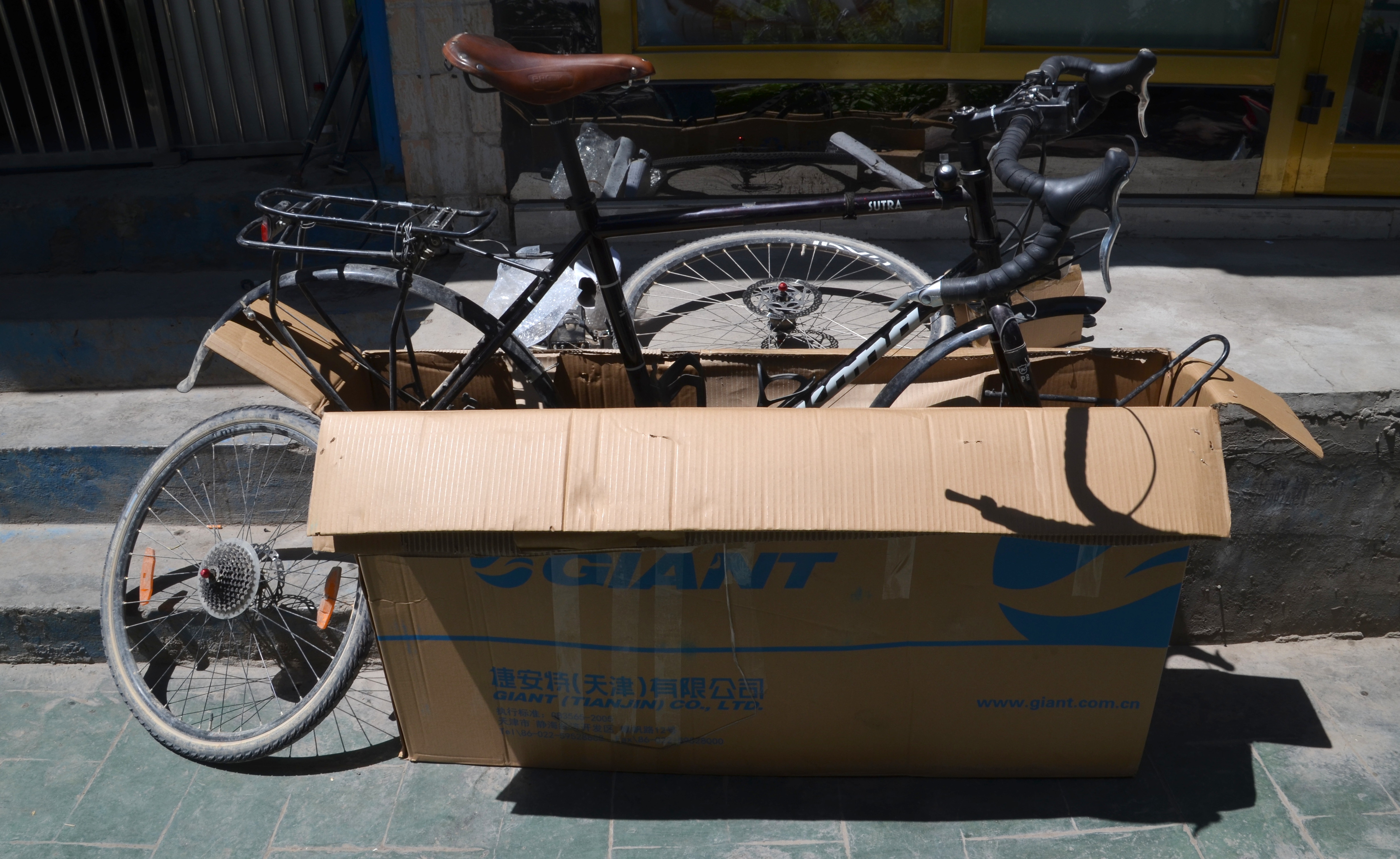
Everything went smoothly but before I was able to even access the airport building in Kashgar (let alone board my plane), I had to unpack everything twice(!) and send every single piece of my bike plus the empty paper box through the security scanners. Again: control, control, control. Well it worked and after two final hours of sweat and frustration I was on my way home.
Dear Jan,
Sad your most interesting trip ended like this, yet happy you safely made through the Pamir mountains. Thank you for sharing with us your exciting adventures!
On your comment regarding the Belgian law on the use of cameras and the acceptance by the public, I remember quite a few critical op-eds in Flemish newspapers. However, in Parliament, only PVDA (extreme left) voted against, while other opposition parties abstained. The majority framed it as a means to attack criminals, which is precisely what their anxious electorate longs for… Add to this the fact that opposition parties are mainly busy dealing with internal fights and you get laws like this passed easily without many citizens noticing it.
Ha what a coincidence. “Fighting criminals” is exactly how the Chinese government frames it.
Hi Jan i lost our contact with you on Signal. So i am writing here. I’d like to hear from you on Signal again. I changed my phone so if you can send a message through there we can chat again about your trip and going home. Waiting for your response there. Tchüss.